Posted on June 6, 2016
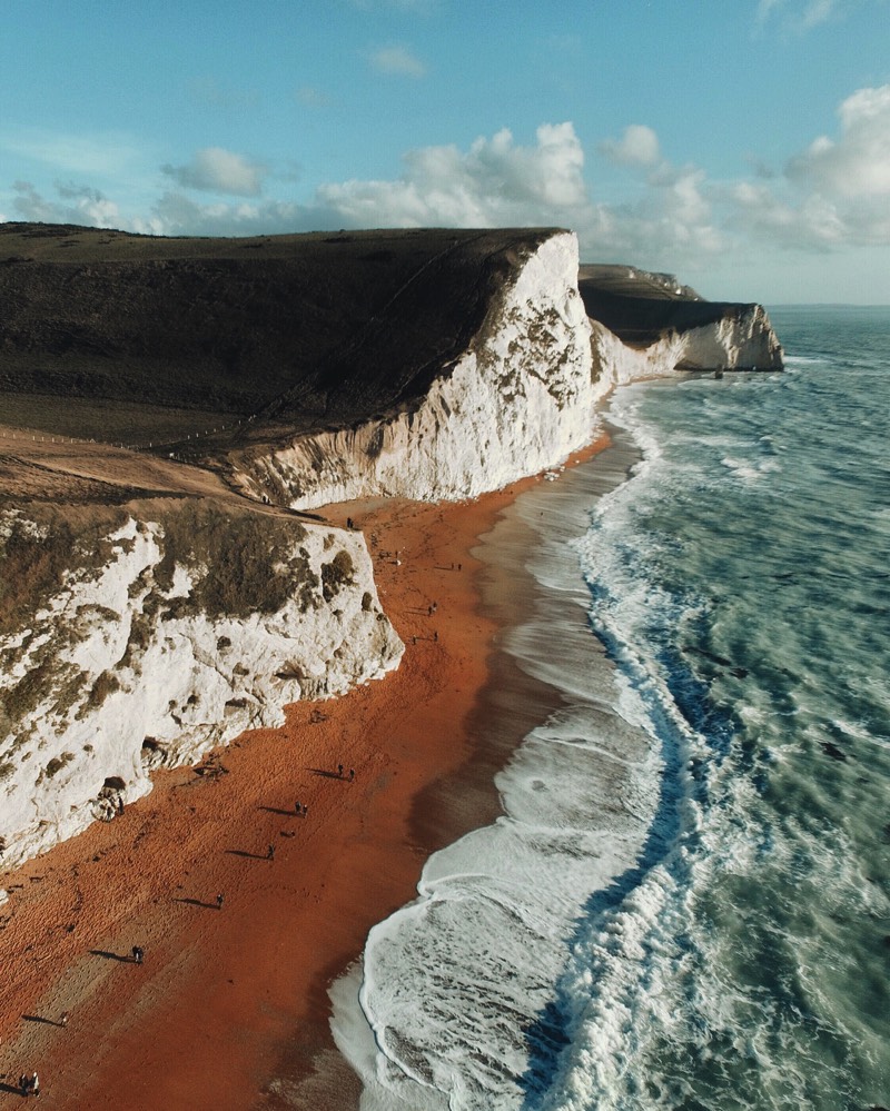
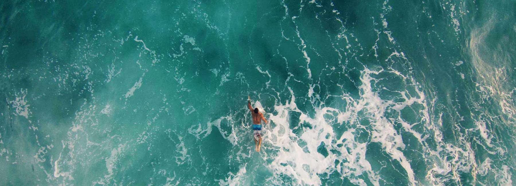
I discovered Gabriel Scanu’s drone work (@gabscanu) late last year and was completely blown away by his unique drone views of Australia.
What caught my eye was not just his fresh perspective on Australia’s sheer cliffs, desert landscapes and the gorgeous turquoise beaches but the way in which he also edits his photos to bring about a warm and soothing quality.
It’s no wonder his photos are constantly some of the most liked photos on the @fromwhereidrone Instagram account time and time again. Because of Gabriel’s aerial work, visiting Australia is now one of the places at the top of my list of places to visit with my drone.
I recently caught up with Gabriel to learn more about his gear, inspirations, what he looks for in creating a photograph and his vision for the future of drones. Take a look below for his answers… Read More
Posted on June 3, 2016
5 Useful Tools for Drone Videography Post-Processing
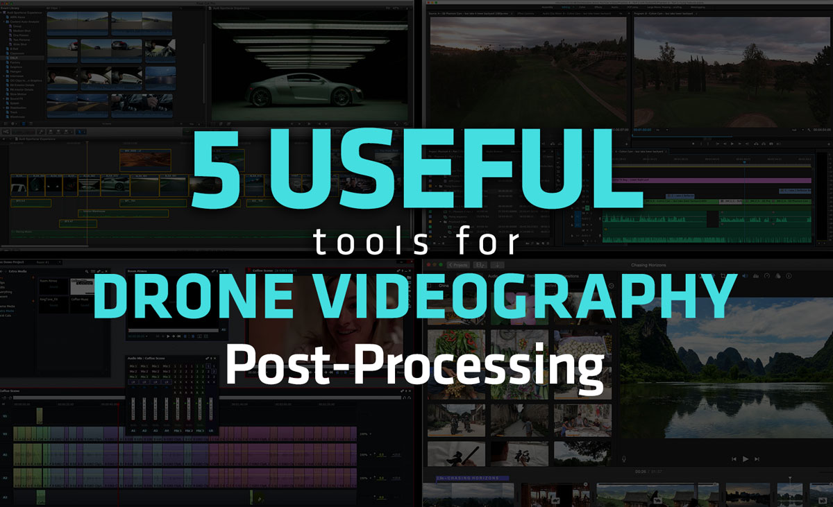
While getting up in the air and capturing those beautiful views by drone is a great step, please understand that the road rarely stops there.
In fact, the majority of the drone videography videos you spend hours watching on YouTube have undergone a sometimes time-consuming and laborious editing process once the aircraft is back on the ground. But just because this endeavor takes effort doesn’t mean there aren’t tools available to make the process less painful.
Here are a few of our favorite drone videography editing and post-processing tools on the market for various operating systems. Read More
Posted on May 13, 2016
DJI Phantom 4 Part 1: Unboxing
I recently got the new DJI Phantom 4 drone and I have to say it’s pretty amazing! If you’re curious to learn more about it then check out this unboxing video I recently completed for Adorama TV. In it I talk about some of the features that make it different from the DJI Phantom 3 and I show you what comes inside the box.
Be sure to stay tuned for Part 2 which is coming next week where I take it for a flight and walk you through the intelligent flight modes like Sense and Avoid, ActiveTrack & TapFly, which I have to say are seriously impressive. If you have any questions or specific things you want me to talk about in Part 2 be sure to let me know in the comments below!
Posted on March 28, 2016
How to use the Adobe Lightroom Map module with your drone photos
In this quick tutorial I walk you through how I use the Map module inside Adobe Lightroom to:
• Check the altitude of my drone photos
• Access the GPS coordinates of an image
• Remove location data from EXIF data when exporting
• Sort and manage images based on location information
If this video was helpful to you please leave a comment, subscribe or give it a like on YouTube! Thanks for watching!
Posted on March 28, 2016
Through the Lens: Dirk Dallas Video Interview
Hey all, I was recently interviewed by the team over at Adorama for their inspiring video series “Through the Lens”. If you have a few minutes you can hear a bit more about my photography story and how I got started in drone photography as well as how the hashtag #fromwhereidrone, the Instagram account @fromwhereidrone and this From Where I Drone website got started.
…And if you like it I would be super grateful if you could give it a thumbs up on the YouTube! Thanks so much!